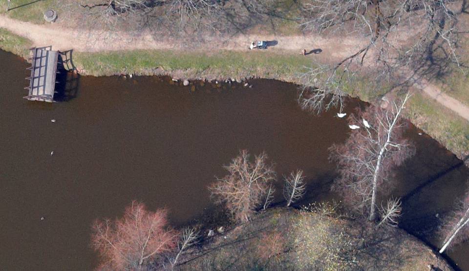
Since the beginning of May, the Institute for Environmental Solutions started remote sensing data acquisition flights within the Gulf of Riga and Irbe Strait to collect first set of high resolution RGB images and thermal images for seabird counting. At the same time on similar locations visual bird counts from the airplane were started in cooperation with the Latvian Fund for Nature. Similar activities are foreseen also for the investigation of marine habitats.
Images below are from the project area: Gulf of Riga
")

